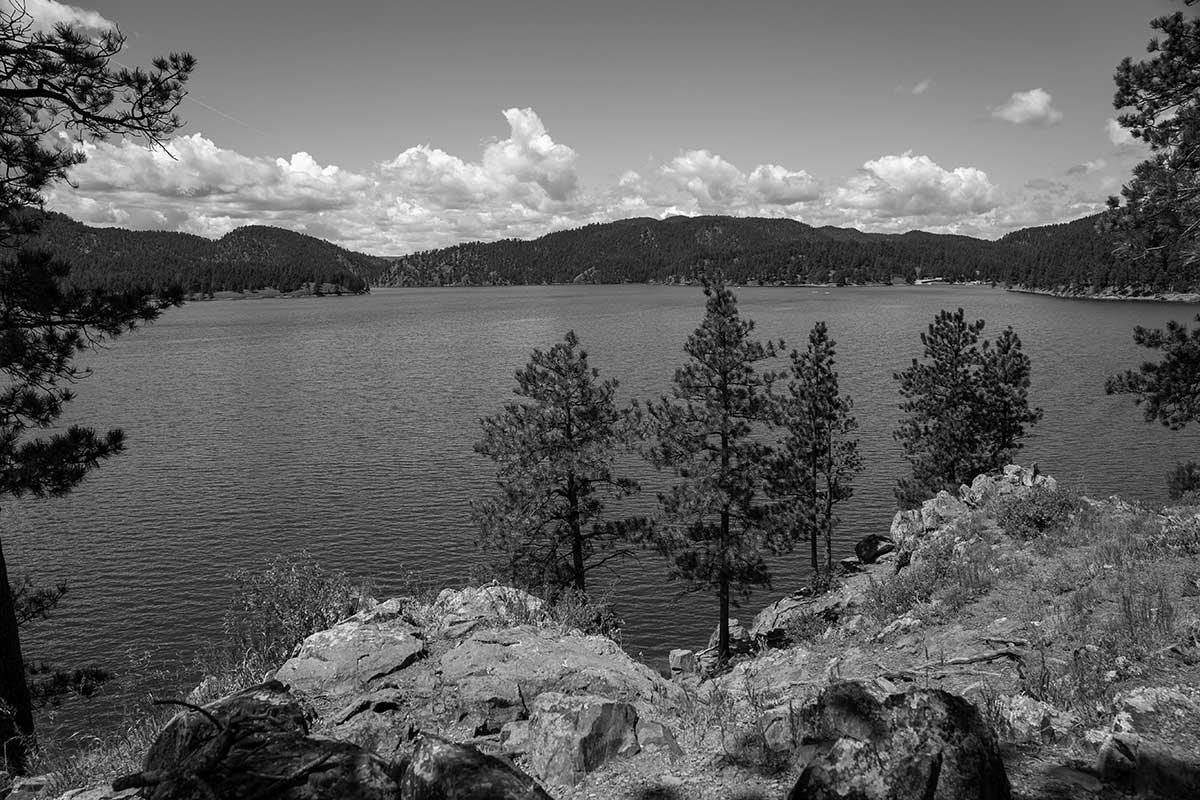
BHNF Trail #91: Cliff Swallow Trail

From Sundance:
Take Highway 14 west one mile to FSR 838. Travel north on FSR 838 and 843 to FSR 842. Take FSR 842 one mile to the trailhead.
From Spearfish:
Take I-90 west to Aladdin Exit 199. Travel north four miles on Highway 111 to FSR 843. Turn to the west on FSR 843 and travel to FSR 842. Take FSR 842 one mile to the trailhead.
Trail Elevation: 4,740 to 5,120 feet
Trail Difficulty: Moderate
Trail Distance: 3.7 mile loop

South Dakota Trails / State Parks

Walkers Point Recreation Area

Walkers Point Recreation Area

Rochford Trailhead

Rochford Trailhead

Cliff Shelf

Cliff Shelf

Rapid Creek Trailhead

Rapid Creek Trailhead

Fort Mead Trailhead

Fort Mead Trailhead

Red Beds Trail at Devils Tower National Monument

Red Beds Trail at Devils Tower National Monument

Mina Lake Recreation Area

Mina Lake Recreation Area

Grace Coolidge Walk-In Fishing Area at Custer State Park

Grace Coolidge Walk-In Fishing Area at Custer State Park

Cold Brook Canyon Trail at Wind Cave National Park

Cold Brook Canyon Trail at Wind Cave National Park

BHNF Trail #40L: Deerfield Lake Loop Trail

BHNF Trail #40L: Deerfield Lake Loop Trail

BHNF Trail #64: Crow Peak Trail

BHNF Trail #64: Crow Peak Trail

Sunday Gulch Trail

Sunday Gulch Trail

North Wheeler Recreation Area

North Wheeler Recreation Area

Castle Trail (West)

Castle Trail (West)

Rocky Point Recreation Area

Rocky Point Recreation Area

Stockade Lake Trail

Stockade Lake Trail

Lake Poinsett Recreation Area

Lake Poinsett Recreation Area

Carson Draw Trail System (Trail #93)

Carson Draw Trail System (Trail #93)