BHNF Trail #91: Cliff Swallow Trail

From Sundance:
Take Highway 14 west one mile to FSR 838. Travel north on FSR 838 and 843 to FSR 842. Take FSR 842 one mile to the trailhead.
From Spearfish:
Take I-90 west to Aladdin Exit 199. Travel north four miles on Highway 111 to FSR 843. Turn to the west on FSR 843 and travel to FSR 842. Take FSR 842 one mile to the trailhead.
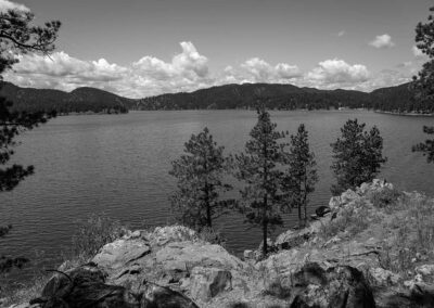
Trail Elevation: 4,740 to 5,120 feet
Trail Difficulty: Moderate
Trail Distance: 3.7 mile loop

South Dakota Trails / State Parks

Swan Creek Recreation Area

Swan Creek Recreation Area

Oahe Downstream Recreation Area

Oahe Downstream Recreation Area

Palisades State Park

Palisades State Park

BHNF Trail #58: Osprey Trail

BHNF Trail #58: Osprey Trail

BHNF Trail #40: Deerfield Trail

BHNF Trail #40: Deerfield Trail

Edgemont Trailhead

Edgemont Trailhead

French Creek Natural Area

French Creek Natural Area

Nature Trail at Mount Rushmore

Nature Trail at Mount Rushmore

Tamarack Gulch Trailhead

Tamarack Gulch Trailhead

Lookout Point Trail at Wind Cave National Park

Lookout Point Trail at Wind Cave National Park

Lead Trailhead

Lead Trailhead

Spearfish Canyon Nature Area

Spearfish Canyon Nature Area

Lake Cochrane Recreation Area

Lake Cochrane Recreation Area

BHNF Trail #9: Harney Peak South

BHNF Trail #9: Harney Peak South

Pierson Ranch Recreation Area

Pierson Ranch Recreation Area

West Bend Recreation Area

West Bend Recreation Area

Roughlock Falls Trail

Roughlock Falls Trail

BHNF Trail #76: 76 Trail

BHNF Trail #76: 76 Trail