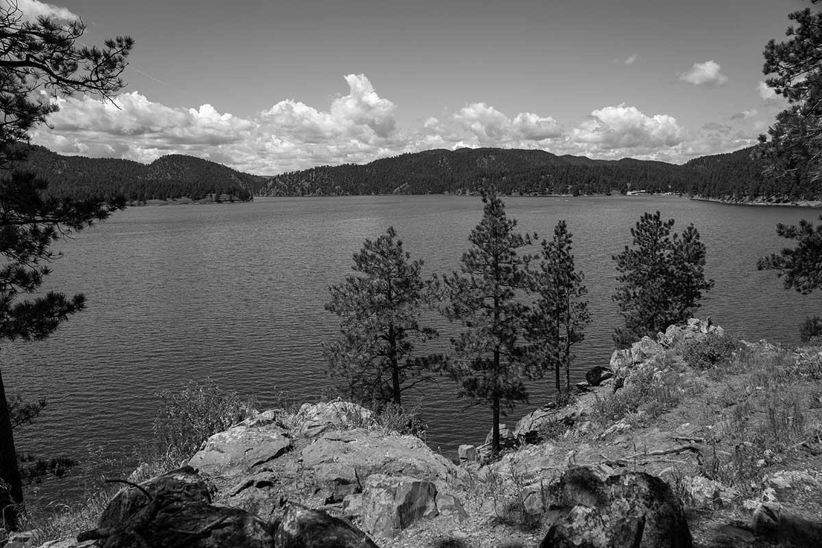
BHNF Trail #9: Harney Peak South

This is the most popular route to Harney Peak – be prepared to encounter many people, especially in the summer.
Hikers begin on a roadbed that leads to a fire tower built by the Civilian Conservation Corps, now on the Register of Historic Places.
The trail is steep, but the rewars include stunning views of four states.

Trail Elevation: Elevation: 6,100 to 7,200 feet
Trail Difficulty: Moderate
Trail Distance: 3.5 miles

South Dakota Trails / State Parks

Indian Creek Recreation Area

Indian Creek Recreation Area

Snake Creek Recreation Area

Snake Creek Recreation Area

BHNF Trail #80: Little Spearfish Trail

BHNF Trail #80: Little Spearfish Trail

Deer Creek Trailhead

Deer Creek Trailhead

Dumont Trailhead

Dumont Trailhead

Oakwood Lakes State Park

Oakwood Lakes State Park

BHNF Trail #9: Harney Peak North

BHNF Trail #9: Harney Peak North

Llewellyn Johns Recreation Area

Llewellyn Johns Recreation Area

South Boxelder Creek Trailhead

South Boxelder Creek Trailhead

Randall Creek Recreation Area

Randall Creek Recreation Area

Bear Butte Lake Trailhead

Bear Butte Lake Trailhead

Swan Creek Recreation Area

Swan Creek Recreation Area

Good Earth State Park

Good Earth State Park

White Elephant Trailhead

White Elephant Trailhead

Hell Canyon Trail

Hell Canyon Trail

South Side and Valley View Trails at Devils Tower National Monument

South Side and Valley View Trails at Devils Tower National Monument

LaFramboise Island Nature Area

LaFramboise Island Nature Area

Medicine Loop (West)

Medicine Loop (West)