BHNF Trail #9: Harney Peak North

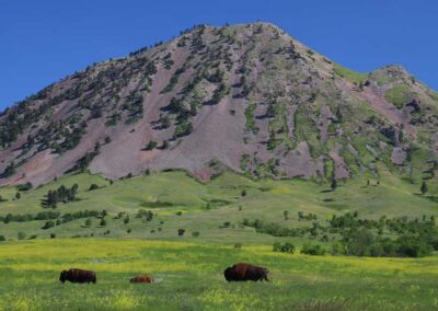
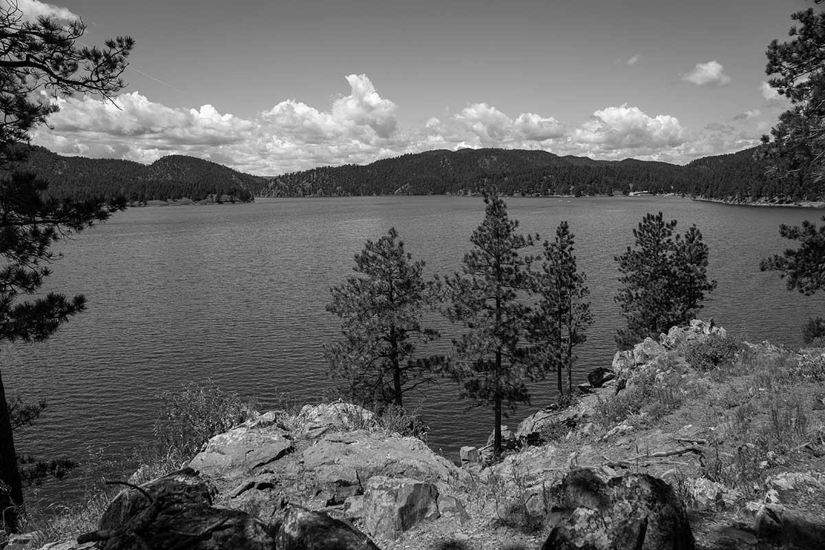
After traveling a mile through meadows and forest, users will begin to see Elkhorn Mountain, with dramatic peaks and rock outcrops.
Climbing steeply, the trail emerges onto a ridge where users can see the back of Mt. Rushmore. Two-thirds of the way to the top is a popular overlook and hitching rail.
Riders take note – there is only one minor creek crossing where stock can find water.
Trail Elevation: 5,100 to 7,200 feet
Trail Difficulty: Difficult
Trail Distance: 4.4 miles

South Dakota Trails / State Parks

Spring Creek Trailhead

Spring Creek Trailhead

Mystic Trailhead

Mystic Trailhead

BHNF Trail #40: Deerfield Trail

BHNF Trail #40: Deerfield Trail

Castle Trail (West)

Castle Trail (West)

Dumont Trailhead

Dumont Trailhead

BHNF Trail #91: Cliff Swallow Trail

BHNF Trail #91: Cliff Swallow Trail

Sica Hollow State Park

Sica Hollow State Park

Lake Alvin Recreation Area

Lake Alvin Recreation Area

South Boxelder Creek Trailhead

South Boxelder Creek Trailhead

Buryanek Recreation Area

Buryanek Recreation Area

Wind Cave Canyon Trail

Wind Cave Canyon Trail

Rapid Creek Trailhead

Rapid Creek Trailhead

BHNF Trail #79: Rimrock Trails

BHNF Trail #79: Rimrock Trails

Nature Trail at Mount Rushmore

Nature Trail at Mount Rushmore

Walkers Point Recreation Area

Walkers Point Recreation Area

Burke Lake Recreation Area

Burke Lake Recreation Area

Pease Creek Recreation Area

Pease Creek Recreation Area

French Creek Natural Area

French Creek Natural Area