The Mountain Trailhead

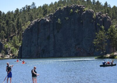
3 miles north of Custer on Hwy 385.

Trail Elevation:
Trail Difficulty: Easy
Trail Distance:

South Dakota Trails / State Parks

Shadehill Recreation Area

Shadehill Recreation Area

BHNF Trail #7: Grizzley Bear Creek

BHNF Trail #7: Grizzley Bear Creek

Serenity Trail

Serenity Trail

BHNF Trail #40L: Deerfield Lake Loop Trail

BHNF Trail #40L: Deerfield Lake Loop Trail

Castle Trail (West)

Castle Trail (West)

Dakota Point Trailhead

Dakota Point Trailhead

Medicine Loop (West)

Medicine Loop (West)

LaFramboise Island Nature Area

LaFramboise Island Nature Area

Custer Spur to Stockade Lake Trail

Custer Spur to Stockade Lake Trail

Harbach Park / Custer Trailhead

Harbach Park / Custer Trailhead

Randall Creek Recreation Area

Randall Creek Recreation Area

BHNF Trail #64: Crow Peak Trail

BHNF Trail #64: Crow Peak Trail

Joyner Ridge Trail at Devils Tower National Monument

Joyner Ridge Trail at Devils Tower National Monument

Norbeck Trailhead

Norbeck Trailhead

Walkers Point Recreation Area

Walkers Point Recreation Area

Deer Creek Trailhead

Deer Creek Trailhead

Spring Creek Trailhead

Spring Creek Trailhead

Mina Lake Recreation Area

Mina Lake Recreation Area