Carson Draw Trail System (Trail #93)

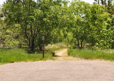
From Sundance, take Highway 14 west one mile to FSR 838. Travel north on FSR 838 two miles to the trailhead which is on the west side of the road.

Trail Elevation: 5480 - 6200
Trail Difficulty: Moderate
Trail Distance: 6.8 miles total

South Dakota Trails / State Parks

BHNF Trail #66: Old Baldy Trail

BHNF Trail #66: Old Baldy Trail

Burke Lake Recreation Area

Burke Lake Recreation Area

Mountain Disc Golf Course

Mountain Disc Golf Course

Grace Coolidge Walk-In Fishing Area at Custer State Park

Grace Coolidge Walk-In Fishing Area at Custer State Park

The Mountain Trailhead

The Mountain Trailhead

Lewis and Clark Recreation Area

Lewis and Clark Recreation Area

Big Sioux Recreation Area

Big Sioux Recreation Area

Wind Cave Canyon Trail

Wind Cave Canyon Trail

Dakota Point Trailhead

Dakota Point Trailhead

North Point Recreation Area

North Point Recreation Area

Pilot Knob Trailhead

Pilot Knob Trailhead

Elk Creek Trailhead

Elk Creek Trailhead

Little Devils Tower Trail

Little Devils Tower Trail

Tower Trail at Devils Tower National Monument

Tower Trail at Devils Tower National Monument

Rochford Trailhead

Rochford Trailhead

Norbeck Trailhead

Norbeck Trailhead

Sica Hollow State Park

Sica Hollow State Park

BHNF Trail #79: Rimrock Trails

BHNF Trail #79: Rimrock Trails