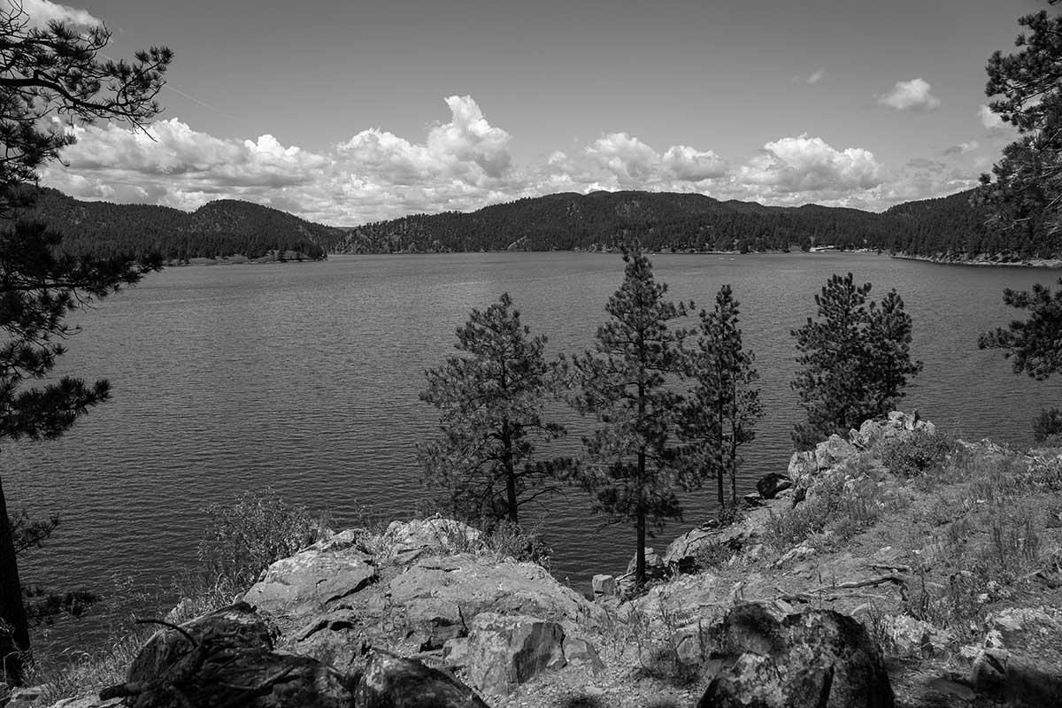
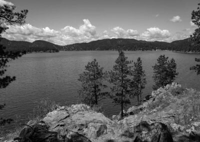
BHNF Trail #40L: Deerfield Lake Loop Trail

Directions
Between Deerfield and Pactola Lakes Gold Run Trailhead From Hill City take Highway 17 (FH 17) for 14.6 miles to FSR 465. Travel north on FSR 465 for 0.2 miles to the trailhead.
North Shore Trailhead From Hill City take Forest Highway 17 for 18.8 miles circling around the inlet of Deerfield Lake to FSR 461. Travel south on FSR 461 for 1.4 miles to the trailhead.
From Rochford take FSR 231 for 0.6 miles west to FH 17. Turn to the south and follow FH 17 for 10.4 to FSR 461. Travel south on FSR 461 for 1.4 miles to the trailhead.
Custer Trails Trailhead From Hill City take Forest Highway 17 for 20.2 miles circling around the inlet of Deerfield Lake to FSR 417. Travel south on FSR 417 for 1.5 miles to the trailhead.
From Rochford take FSR 231 for 0.6 miles west to FH 17. Turn to the south and follow FH 17 for 9 miles to FSR 417. Travel south on FSR 417 for 1.5 miles to the trailhead.
Trail Elevation: 5,800 to 6,200 feet
Trail Difficulty: Moderate
Trail Distance: 11 miles

South Dakota Trails / State Parks

BHNF Trail #88: Cook Lake

BHNF Trail #88: Cook Lake

Tamarack Gulch Trailhead

Tamarack Gulch Trailhead

Big Stone Island Nature Area

Big Stone Island Nature Area

Indian Creek Recreation Area

Indian Creek Recreation Area

Palisades State Park

Palisades State Park

Door Trail

Door Trail

Fort Sisseton Historic State Park

Fort Sisseton Historic State Park

BHNF Trail #15: Iron Creek

BHNF Trail #15: Iron Creek

Mystic Trailhead

Mystic Trailhead

Swan Creek Recreation Area

Swan Creek Recreation Area

Roof Trail

Roof Trail

Lake Poinsett Recreation Area

Lake Poinsett Recreation Area

Little Moreau Recreation Area

Little Moreau Recreation Area

Lovers Leap Trail

Lovers Leap Trail

BHNF Trail #58: Osprey Trail

BHNF Trail #58: Osprey Trail

Sugarloaf Trailhead

Sugarloaf Trailhead

Prairie Trail

Prairie Trail

Okobojo Point Recreation Area

Okobojo Point Recreation Area