BHNF Trail #40: Deerfield Trail

Directions
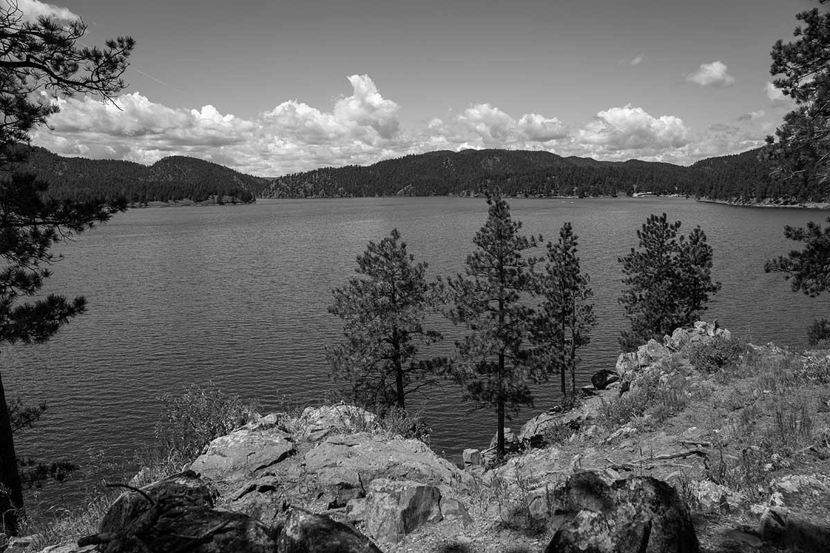
Between Deerfield and Pactola Lakes Deer Creek Trailhead From Rapid City take Highway 44 to Highway 385. Turn north and travel 1.4 miles to county road 299. (Silver City Road) Take 299 for 0.2 miles to a short road to the trailhead. This trailhead also serves the Centennial Trail.
Silver City Trailhead
From Rapid City take Highway 44 to Highway 385. Turn north and travel 1.4 miles to county road 299. Take 299 for 4.4 miles to FSR 141. Turn right just before the Rapid Creek bridge and go 0.5 miles to the trailhead at a gate which blocks a bridge over Rapid Creek.
Daughterty Trailhead
From Hill City take Forest Highway 17 for 5.3 miles to FSR 231. Take FSR 231 for 5.6 miles to the trailhead.
Kinney Canyon Trailhead
From Hill City take Forest Highway 17 for 10.2 miles to FSR 188. Take FSR 188 for 2.8 miles to the trailhead.
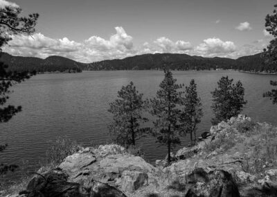
Trail Elevation: 4,600 to 6,200 feet
Trail Difficulty: Difficult, Moderate
Trail Distance: 23 miles

South Dakota Trails / State Parks

BHNF Trail #77: Dugout Gulch Botanical Trail

BHNF Trail #77: Dugout Gulch Botanical Trail

Saddle Pass

Saddle Pass

Pilot Knob Trailhead

Pilot Knob Trailhead

BHNF Trail #72: Big Hill Trails

BHNF Trail #72: Big Hill Trails

Indian Creek Recreation Area

Indian Creek Recreation Area

Highland Creek Trailhead

Highland Creek Trailhead

Okobojo Point Recreation Area

Okobojo Point Recreation Area

BHNF Trail #32: Hell Canyon Trail

BHNF Trail #32: Hell Canyon Trail

East Bison Flats Trail at Wind Cave National Park

East Bison Flats Trail at Wind Cave National Park

Sylvan Lake Shore Trail

Sylvan Lake Shore Trail

Castle Trail (East)

Castle Trail (East)

West Pollock Recreation Area

West Pollock Recreation Area

Cliff Shelf

Cliff Shelf

Sugarloaf Trailhead

Sugarloaf Trailhead

Little Devils Tower Trail

Little Devils Tower Trail

Dumont Trailhead

Dumont Trailhead

BHNF Trail #80: Little Spearfish Trail

BHNF Trail #80: Little Spearfish Trail

Pringle Trailhead

Pringle Trailhead