From Custer:
Trailhead is approximately 11.0 miles west on Highway 16.
From Jewel Cave:
Trailhead is approximately 1.0 mile west of Jewel Cave National Monument enterance on Highway 16.
Trail Elevation: 5,400 to 5,700 feet
Trail Difficulty: Moderate
Trail Distance: Loop: 5.5 miles | Spur Trail to Observation Point: .5 mile
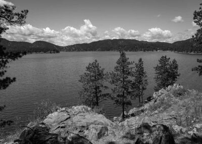
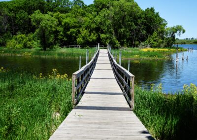
South Dakota Trails / State Parks
Medicine Loop (West)
BHNF Trail #77: Dugout Gulch Botanical Trail
BHNF Trail #68: Eagle Cliff Trails
Dakota Point Trailhead
Pickerel Lake Recreation Area
Outdoor Activities,State Parks
Castle Trail (West)
Lovers Leap Trail
LaFramboise Island Nature Area
Outdoor Activities,State Parks
Nature Trail at Mount Rushmore
Roy Lake State Park
Outdoor Activities,State Parks
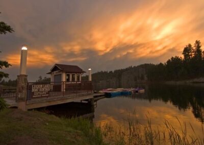
Legion Lake Trail
Pilot Knob Trailhead
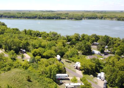
Snake Creek Recreation Area
Outdoor Activities,State Parks
Iron Creek Trailhead
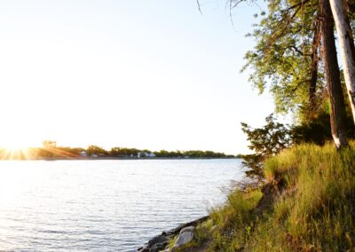
West Pollock Recreation Area
Outdoor Activities,State Parks
Alkali Creek Trailhead Horse Camp
Joyner Ridge Trail at Devils Tower National Monument