From Spearfish, take Hwy 14A south through Spearfish Canyon Scenic Byway to Hwy 85 at Cheyenne Crossing. Take Hwy 85 southwest for 7.4, 8.4 and 9.4 miles to the trailheads.
Trail Elevation: 5,760 to 6,520 fee
Trail Difficulty: Difficult, Easy, Moderate
Trail Distance: 27.1 miles total across twenty-one intertwining loop and dead-end trails.
South Dakota Trails / State Parks
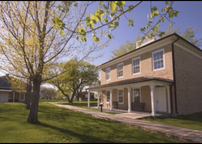
Fort Sisseton Historic State Park
Outdoor Activities,State Parks
South Boxelder Creek Trailhead
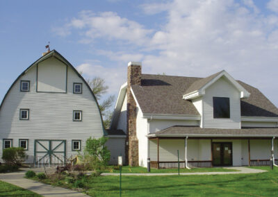
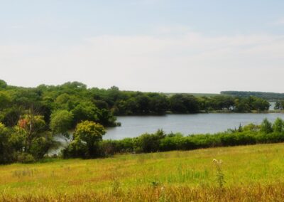
Adams Homestead and Nature Preserve
Outdoor Activities,State Parks
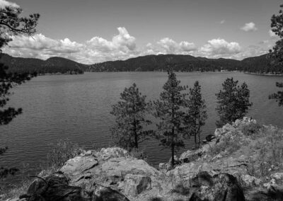
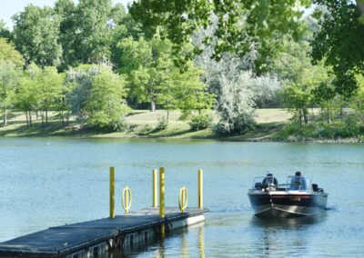
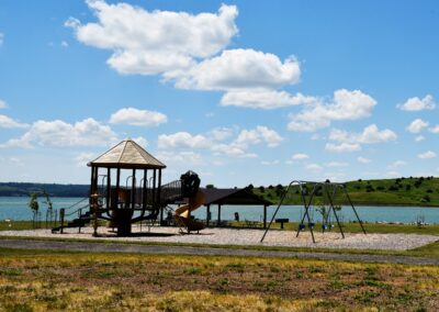
West Bend Recreation Area
Outdoor Activities,State Parks
BHNF Trail #66: Old Baldy Trail
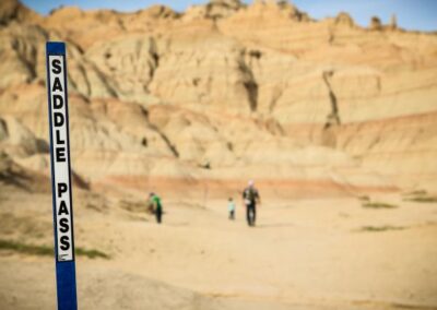
South Side and Valley View Trails at Devils Tower National Monument