BHNF Trail #50: Flume Trail

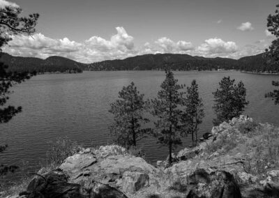
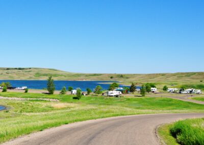
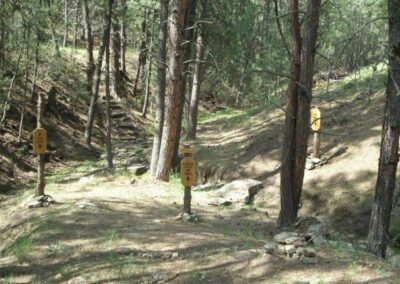
Take U.S. Highway 385 to Sheridan Lake Campground. Follow signs to Flume Trail and the Calumet Trailhead near the southeast shore of Sheridan Lake.
The trail ends near Rockerville at the Coon Hollow Trailhead on County Road 233.

Trail Elevation: 4,400 to 5,300 feet
Trail Difficulty: Easy, Moderate
Trail Distance: 11 miles plus 3-mile loop

South Dakota Trails / State Parks

Angostura Recreation Area

Angostura Recreation Area

Lewis and Clark Recreation Area

Lewis and Clark Recreation Area

Custer State Park

Custer State Park

Highland Creek Trailhead

Highland Creek Trailhead

Little Devils Tower Trail

Little Devils Tower Trail

Pease Creek Recreation Area

Pease Creek Recreation Area

BHNF Trail #93: Sundance Trail

BHNF Trail #93: Sundance Trail

Iron Creek Trailhead

Iron Creek Trailhead

BHNF Trail #80: Little Spearfish Trail

BHNF Trail #80: Little Spearfish Trail

Snake Creek Recreation Area

Snake Creek Recreation Area

BHNF Trail #66: Old Baldy Trail

BHNF Trail #66: Old Baldy Trail

Cow Creek Recreation Area

Cow Creek Recreation Area

Spearfish Canyon Nature Area

Spearfish Canyon Nature Area

Oakwood Lakes State Park

Oakwood Lakes State Park

West Bend Recreation Area

West Bend Recreation Area

BHNF Trail #16: Iron Mountain

BHNF Trail #16: Iron Mountain

Spring Creek Trailhead

Spring Creek Trailhead

Window Trail

Window Trail