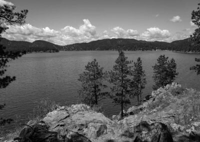
Take U.S. Highway 385 to Sheridan Lake Campground. Follow signs to Flume Trail and the Calumet Trailhead near the southeast shore of Sheridan Lake.
The trail ends near Rockerville at the Coon Hollow Trailhead on County Road 233.
Trail Elevation: 4,400 to 5,300 feet
Trail Difficulty: Easy, Moderate
Trail Distance: 11 miles plus 3-mile loop
South Dakota Trails / State Parks
Pickerel Lake Recreation Area
Outdoor Activities,State Parks
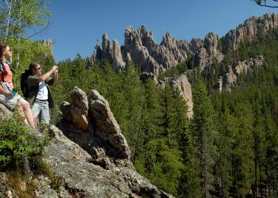
BHNF Trail #4: Cathedral Spires
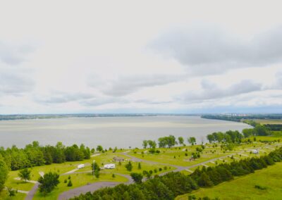
Richmond Lake Recreation Area
Outdoor Activities,State Parks
Mina Lake Recreation Area
Outdoor Activities,State Parks
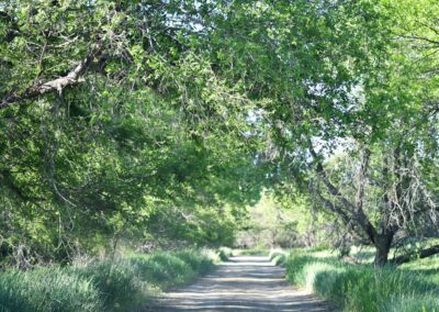
Creekside Trail at Custer State Park
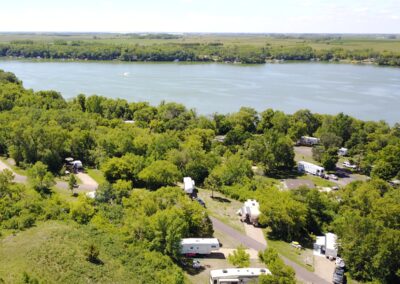
Cow Creek Recreation Area
Outdoor Activities,State Parks
South Side and Valley View Trails at Devils Tower National Monument