George S. Mickelson Trail

Fees

Daily: $4 daily (required per person ages 12 and over)
Annual: $15 (required per person ages 12 and over)
State Park Maps / Information
Amenities
  • Drinking water
  • Picnic Tables
  • Snowshoe checkout
  • Vault toilets
  • Warming shelter
Activities
  • Biking
  • Birdwatching
  • Cross country skiing
  • Hiking
  • Historical interest
  • Horse Trail
  • Horseback Riding
  • Snowshoeing

Address

George S. Mickelson Trail
11361 Nevada Gulch Road
Lead, SD 57754
605.584.3896
Email: MickelsonTrail@state.sd.us
Home » George S. Mickelson Trail

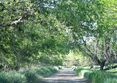
Imagine a path where the ghosts of Wild Bill Hickock and Calamity Jane still roam; where bicyclists, hikers and horseback riders can explore spruce and ponderosa pine forests; and the very young, the very old and people of all abilities can enjoy.

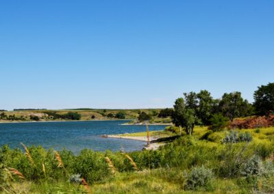
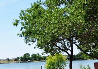
The George S. Mickelson Trail, in the heart of the beautiful Black Hills, was completed in September of 1998. Its gentle slopes and easy access allow people of all ages and abilities to enjoy the beauty of the Black Hills. Much of the trail passes through National Forest Land, but there are parts of the trail that pass through privately owned land, where the trail use is restricted to the trail only.

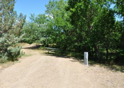
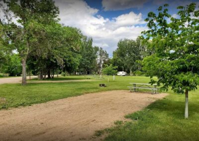
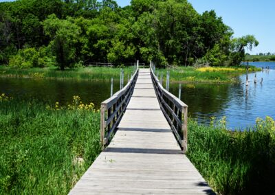
The trail is 109 miles long and contains more than 100 converted railroad bridges and 4 rock tunnels. The trail surface is primarily crushed limestone and gravel. There are 15 trailheads, all of which offer parking, self-sale trail pass stations, vault toilets, and tables.

A majority of the trail does not exceed a 4% grade, but parts of the trail are considered strenuous. Dumont is the highest point and the 19 mile stretch from Deadwood to Dumont is the longest incline.

Note: Poor to non-existent cell phone coverage on the trail.

Trolley on the Trail

See More

Park Specs

Open: Year-round, from dawn to dusk. Between Oct. 1 and April 30, showers, flush toilets and other water systems may be closed. Please contact the park directly for current status. Vault toilets usually remain open.

Park Size: Length of Trail: 109 miles with 15 trailheads, from Edgemont to Deadwood

South Dakota State Parks

Okobojo Point Recreation Area

Okobojo Point Recreation Area

Burke Lake Recreation Area

Burke Lake Recreation Area

Farm Island Recreation Area

Farm Island Recreation Area

Palisades State Park

Palisades State Park

Sheps Canyon Recreation Area

Sheps Canyon Recreation Area

Buryanek Recreation Area

Buryanek Recreation Area

Pelican Lake Recreation Area

Pelican Lake Recreation Area

Lewis and Clark Recreation Area

Lewis and Clark Recreation Area

Cow Creek Recreation Area

Cow Creek Recreation Area

West Pollock Recreation Area

West Pollock Recreation Area

West Bend Recreation Area

West Bend Recreation Area

Sandy Shore Recreation Area

Sandy Shore Recreation Area

Pease Creek Recreation Area

Pease Creek Recreation Area

Mina Lake Recreation Area

Mina Lake Recreation Area

Lake Poinsett Recreation Area

Lake Poinsett Recreation Area

Llewellyn Johns Recreation Area

Llewellyn Johns Recreation Area

Fisher Grove State Park

Fisher Grove State Park

Roy Lake State Park

Roy Lake State Park